
Furaha Gardens · Gongoni, Kilifi County
The site plan, and exactly what is left.
Seventy-one plots of 50 × 100 ft on 9.7 acres at Gongoni, off a 600-metre access road we built ourselves.
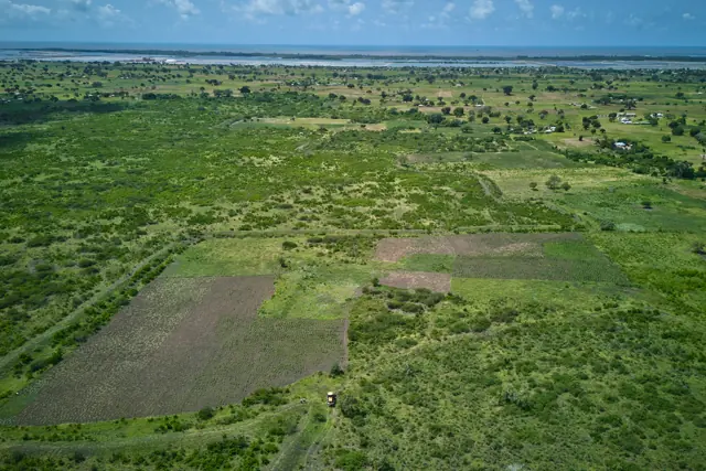
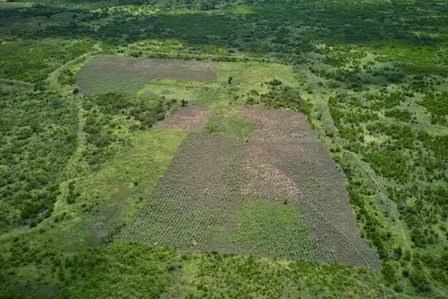
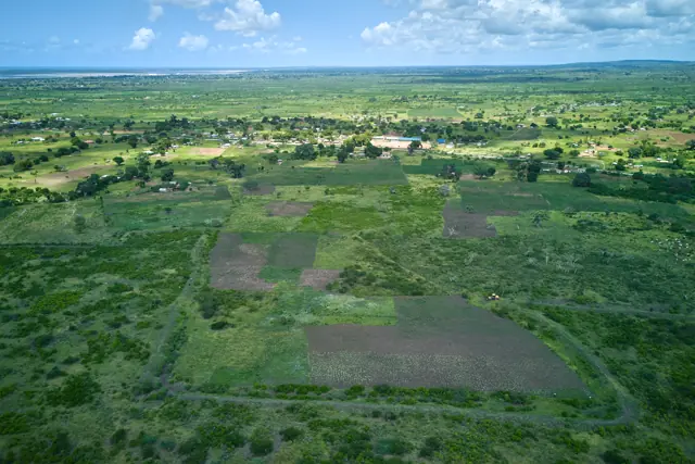
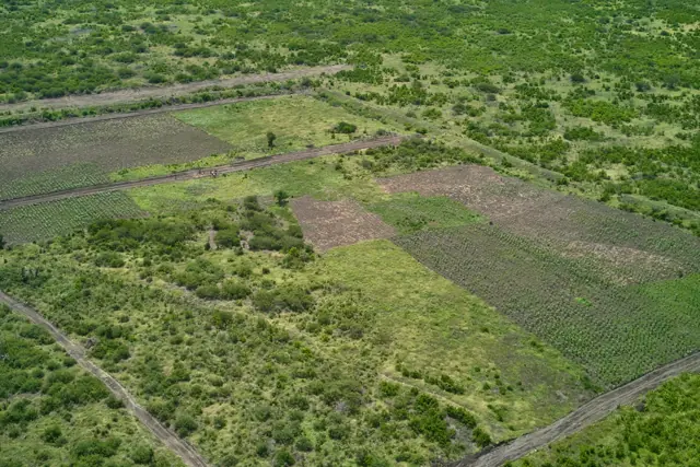
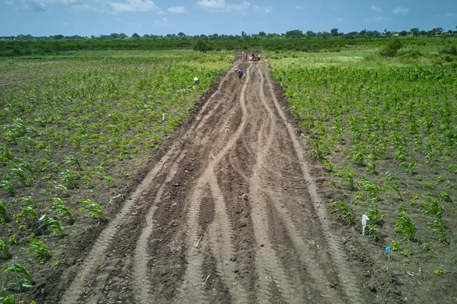
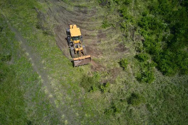
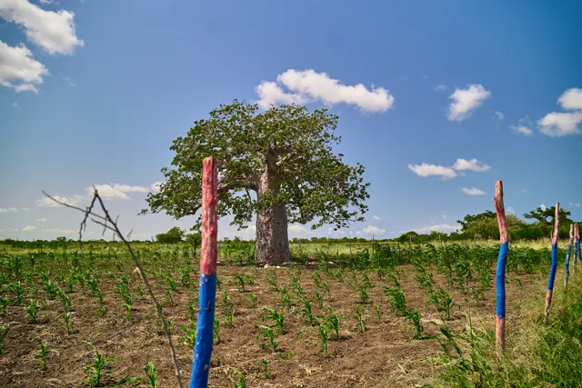
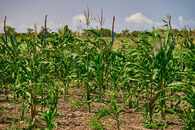
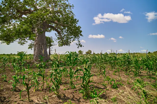
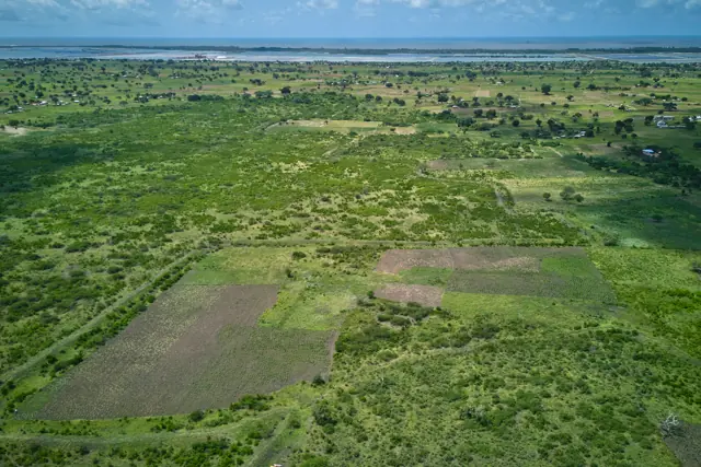
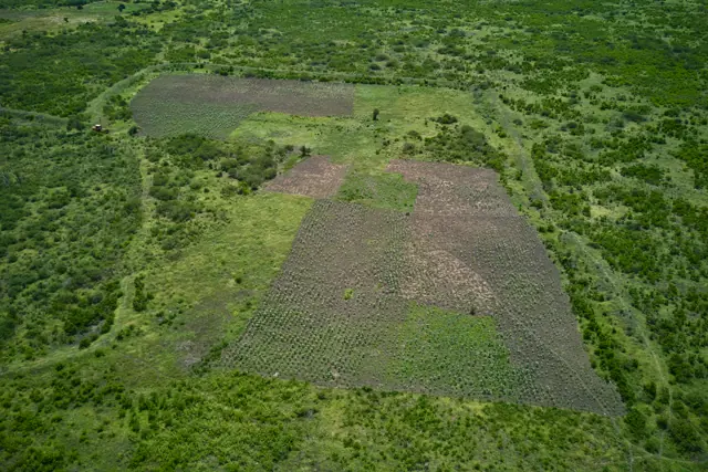
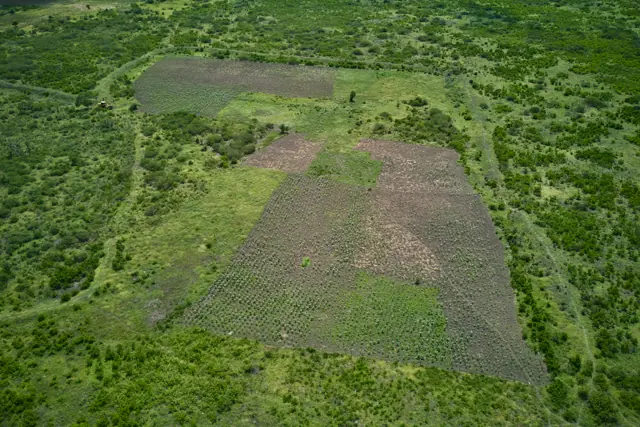
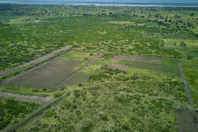
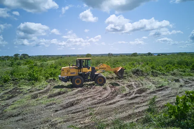
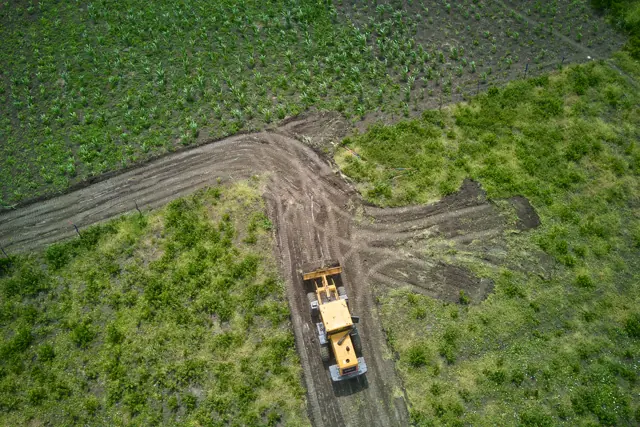
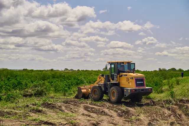
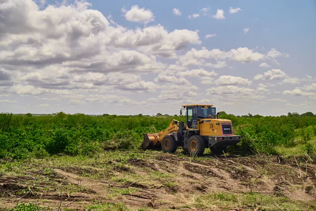
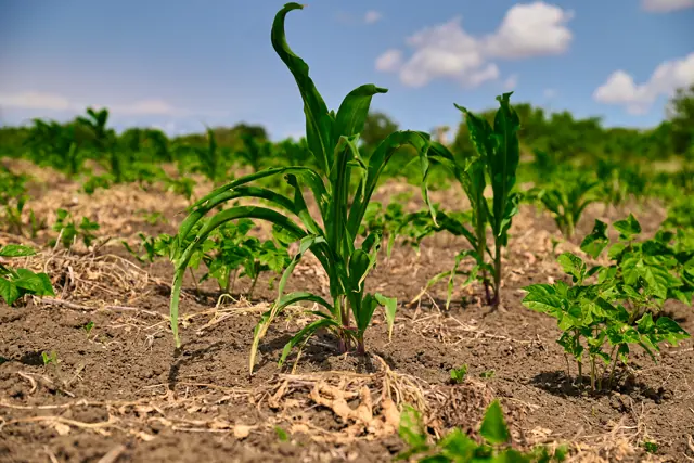
The plan below reads from our live inventory — what shows as available is available. Every photograph on this page was taken on the land on 13–14 July 2026. No stock imagery, no renders.
3.91 ha · 9.7 acres · 71 plots · 50 × 100 ft
The site plan
Seventy-one plots, read live.
This plan reads from our inventory system each time the page loads. Tap any plot marked open to enquire about that plot by number.
Where it sits
What is actually around it.
Furaha Gardens sits on the A7 Malindi–Lamu highway, a maintained national trunk road. A dispensary lies about 6 minutes north at Marereni, with a health centre, police station and Gongoni’s township market roughly 9 minutes south. Primary and secondary schools and a government-registered vocational college serve the area. Malindi town, its hospitals and its airport are about 23 minutes south.
Drive times are estimated at 80 km/h along the highway from the Fundi Isa junction and are approximate. Facilities and services are listed as published by their operators or by national registries and may change; please verify anything that matters to your decision during a site visit.
Education
The nearest school to the plots.
Public day primary serving the Fundi Isa area — the closest primary to the plots.
Health
Facilities as classified on the national health registry.
Nearest public health facility. Level 2 — outpatient, antenatal, immunisation, TB and HIV services.
Level 3 health centre with maternity, family planning and in-patient beds.
Roads, transport & public services
The corridor the land sits on.
A bitumen national trunk road under an active KeNHA maintenance contract — year-round tarmac access, a kilometre from the plots.
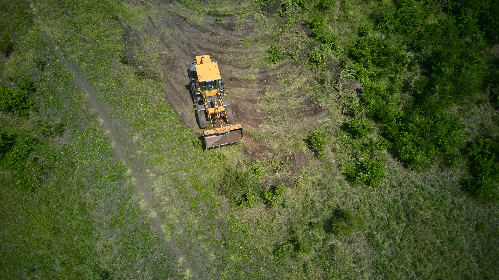
We built and graded the 600 m access road ourselves, from the Fundi Isa–Adu road to the land. The plots front directly onto it.
Scheduled domestic flights to Nairobi, Mombasa and Lamu.
Markets & trade
Nearest evidenced retail is around 9 minutes’ drive — nothing is within walking distance.
The main trading centre for Magarini and the nearest town of any size, on the same highway.
Coast & leisure
What the area is known for.
Family-run beach hotel and kitesurf centre on the coast north of Malindi — bandas, dhow sailing and big-game fishing.
The photographs
The land, photographed
From the air and on the ground — the subdivision and its road network, the graded access roads we cut, and the soil and beacons that mark the plots out.
Next step
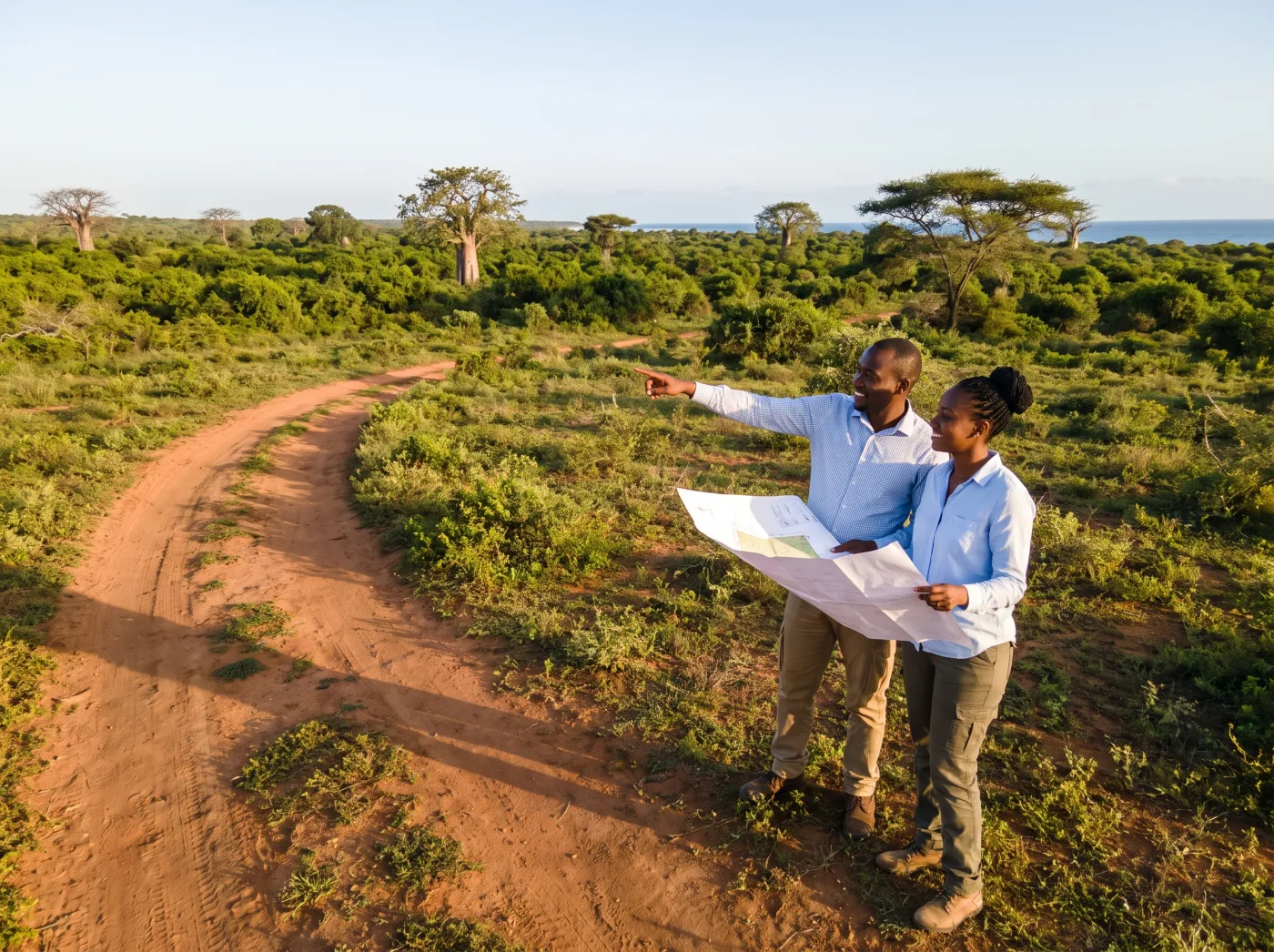
Photographs are one thing. Standing on it is another.
We will meet you at the Fundi Isa junction on the A7 and walk the 600-metre access road with you. Book a plot and we will arrange your site visit — including a return Jambojet flight from Nairobi to Malindi, with ten days’ notice.